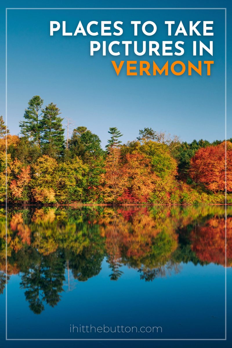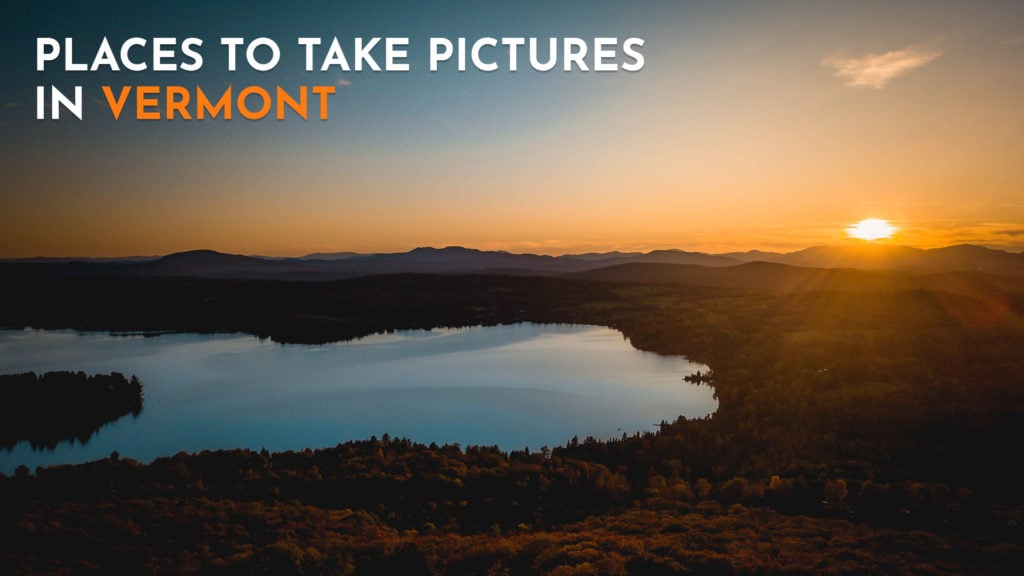
Vermont is a well known destination for stunning autumn colors. Nature photographers will have a blast driving around Vermont during peak fall foliage.
From covered bridges to mountain ranges you’ll find plenty to photograph in Vermont. If you have a way to get around you can easily photograph most of the state in one season. When traveling around Vermont I recommend checking out the fall foliage map to find where to go.
Best Time for Fall Foliage in Vermont
Vermont’s fall color usually peaks from late September through mid-October. The Northeast Kingdom and higher elevations turn first (late September), and the color works its way south and down into the valleys through October. For most of the state, the first two weeks of October are the sweet spot.
Color moves fast and shifts from year to year, so check a live fall foliage map before you lock in dates. Mornings are best for photography, with softer light, calmer water for reflections, and smaller crowds at the popular spots.
Now let’s get into the list, here are the best photography spots in Vermont:
Table of contents
1. Woodstock, VT

One of the best decorated towns in Vermont is Woodstock. During peak fall foliage many of the homes and businesses are decorated. Woodstock also has 3 covered bridges and plenty of historic buildings downtown.
Woodstock on Google Maps2. Stowe, VT
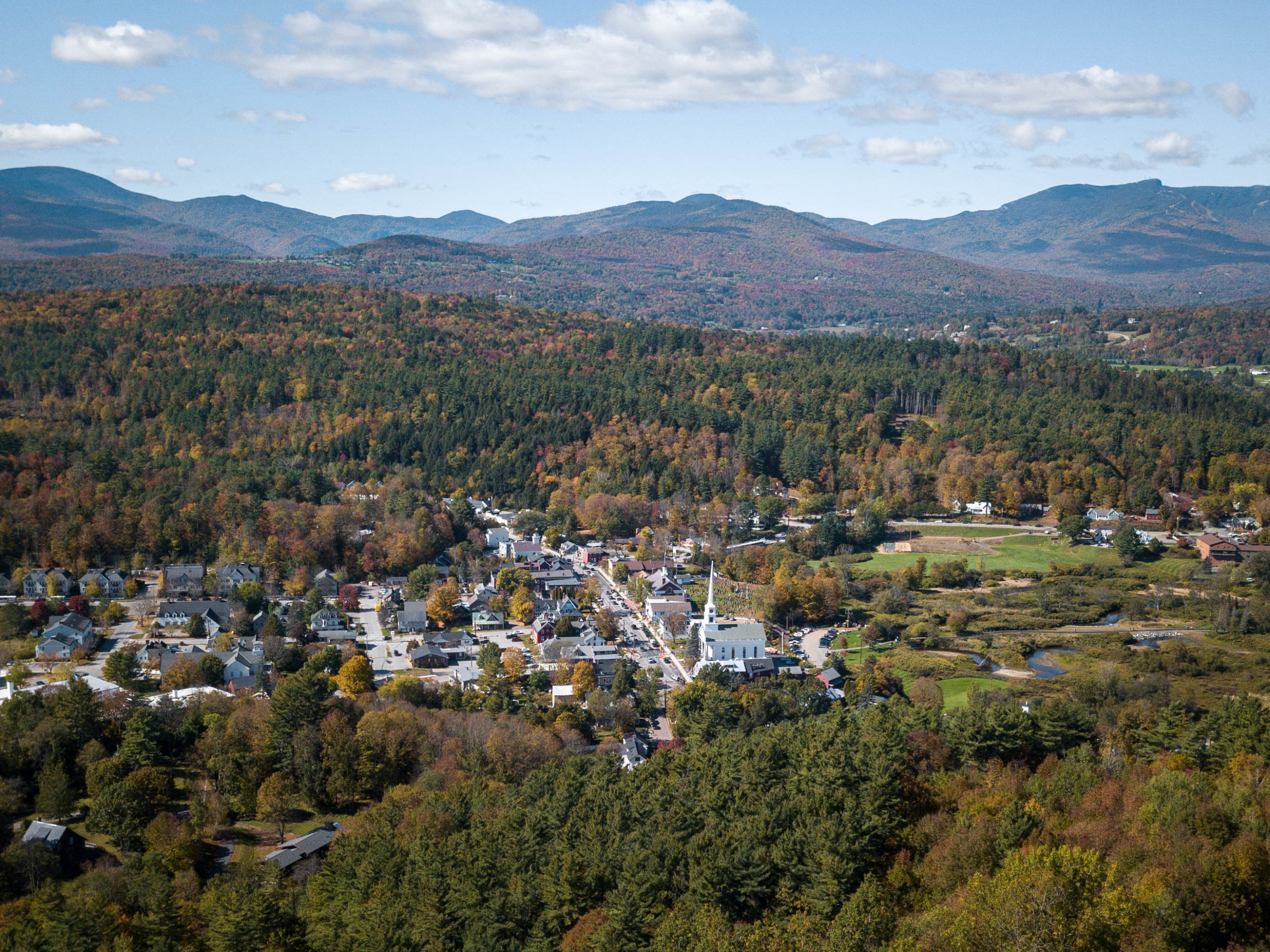
When people think of fall in Vermont they typically think of the town of Stowe. This cute little town is full of shops and anchored by the white-steepled Stowe Community Church, one of the most photographed churches in New England, with the Green Mountains rising behind it.
If you’re a fan of beer be sure to stop by the Alchemist for their famous Heady Topper IPA.
Stowe on Google Maps3. Sleepy Hollow Farm
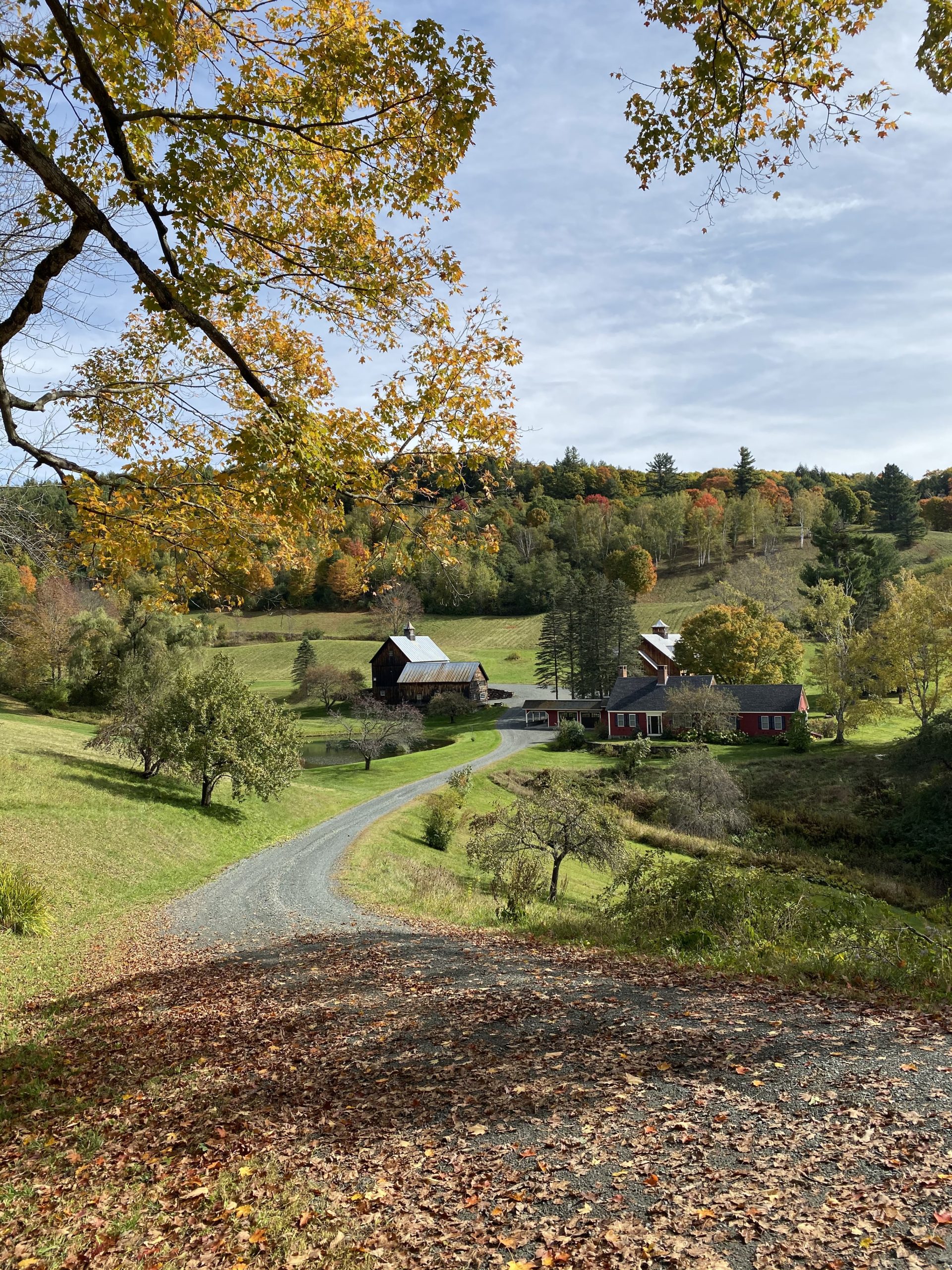
One of the most iconic fall foliage views in Vermont is Sleepy Hollow Farm, a private farm on Cloudland Road in Pomfret where a dirt road winds down past a classic red farmhouse framed by maples.
Important update: after this spot went viral, the crowds overwhelmed the residents, and the town now closes Cloudland Road (and nearby Barber Hill Road) to non-residents during peak foliage season, roughly late September through mid-October. The closure is enforced by the county sheriff, so during peak color you can’t drive in or park there. Outside that window the road is open, but it’s a private home, so be respectful, don’t trespass, and shoot from the public road.
Sleepy Hollow Farm on Google Maps4. Church Street Marketplace
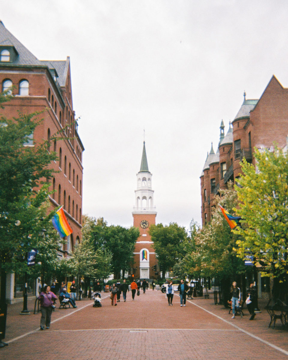
The main drag to walk down in downtown Burlington is Church Street Marketplace and features plenty of trees, shops, and a cute church at the end of the street. In this area you’ll find plenty of places to eat and shop.
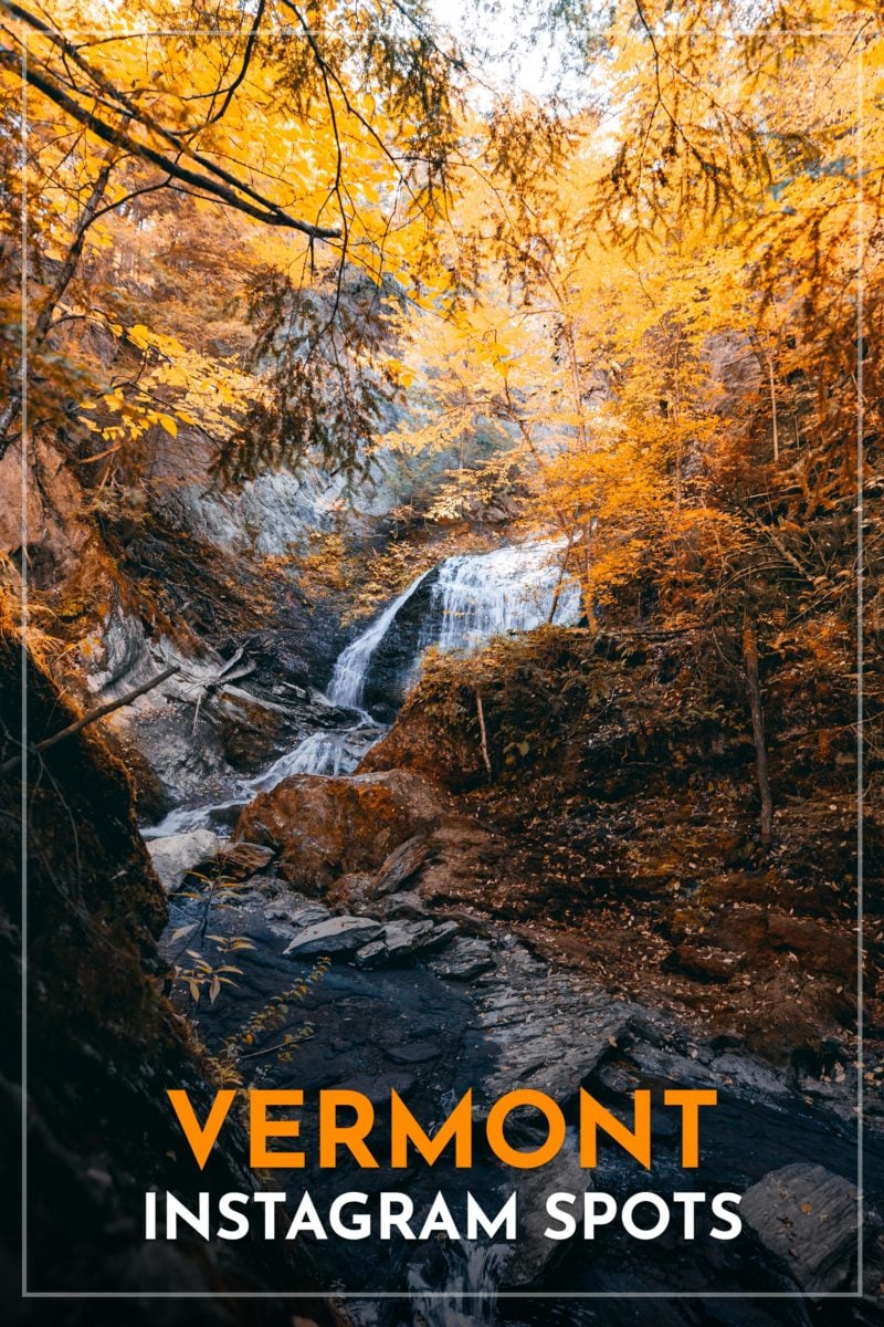
Church Street Marketplace on Google Maps5. Moss Glen Falls
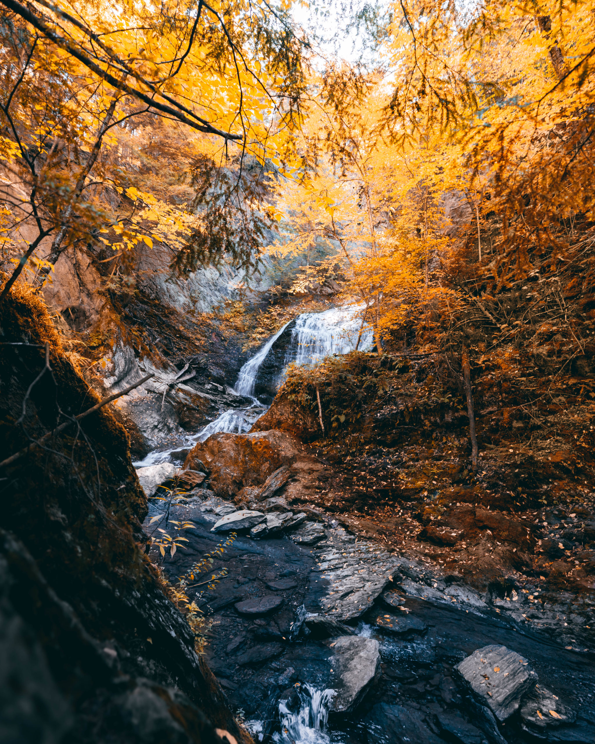
Moss Glen Falls (the one in Stowe, not the Granville falls of the same name) sits along a longer trail network, but most people only hike about a quarter mile in to reach the falls. The walk is easy, and while the small parking lot fills up fast, people usually park down the road near the trailhead. For a full trail map, check AllTrails.
Moss Glen Falls on Google Maps6. Quechee Gorge
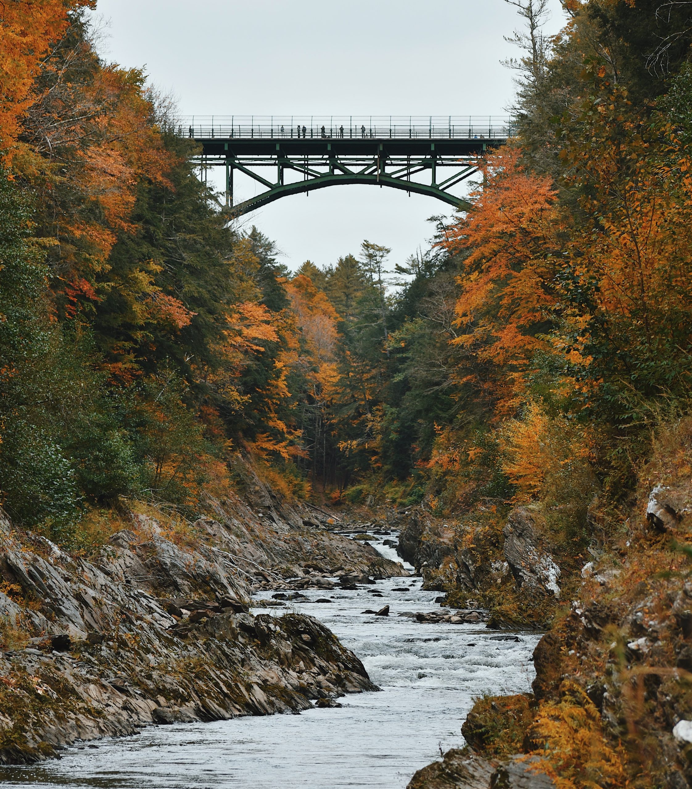
The Quechee Gorge, often called Vermont’s Grand Canyon, is an incredible stop for fall foliage. The Ottauquechee River carved this 165-foot-deep gorge, and you can take it in from the Route 4 bridge or hike about 0.7 miles down to the water.
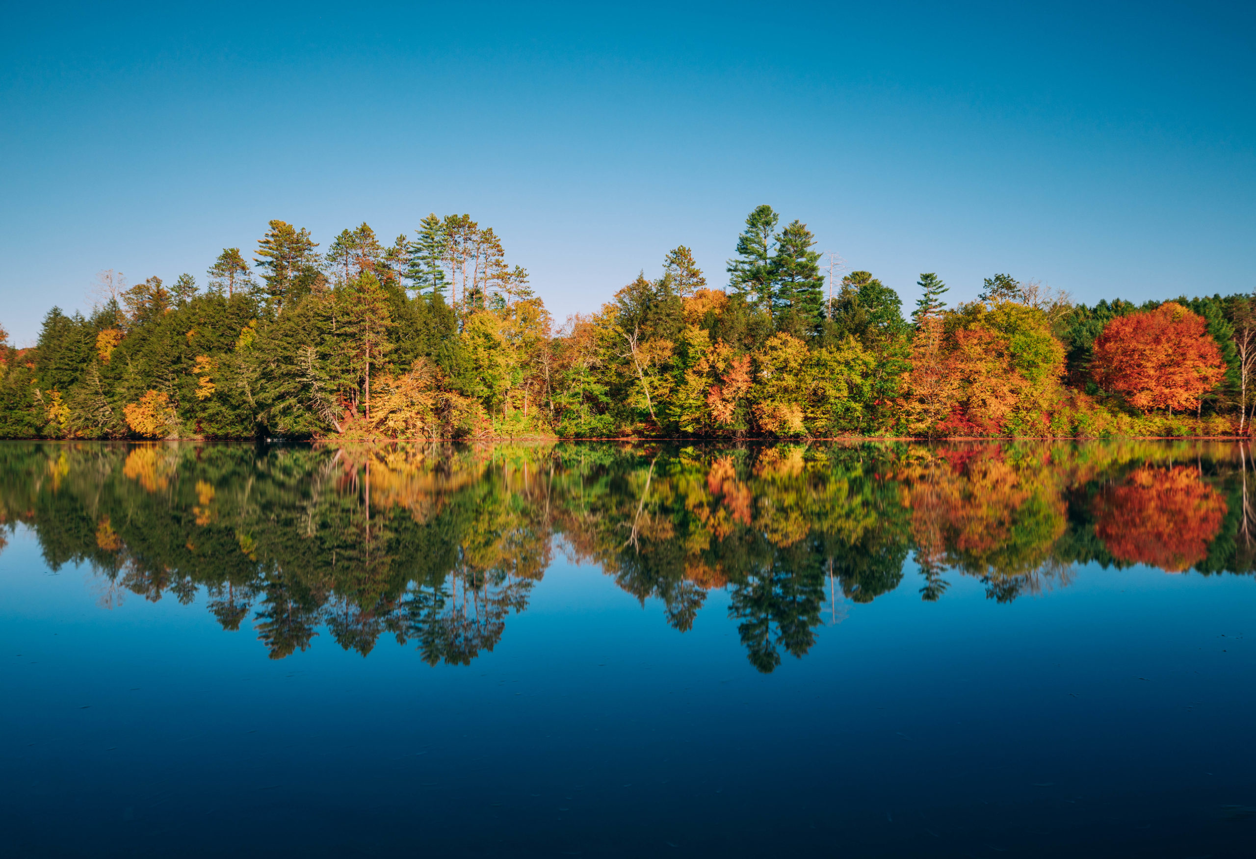
Quechee Gorge on Google Maps7. Kettle Pond State Park
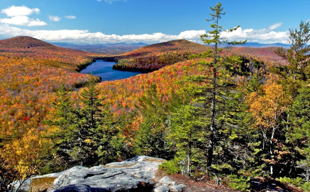
You’ll find the best view of Kettle Pond from Owls Head mountain. During peak fall foliage the colors are stunning and give you great views especially during sunset.
Kettle Pond State Park on Google Maps8. Montgomery Covered Bridge
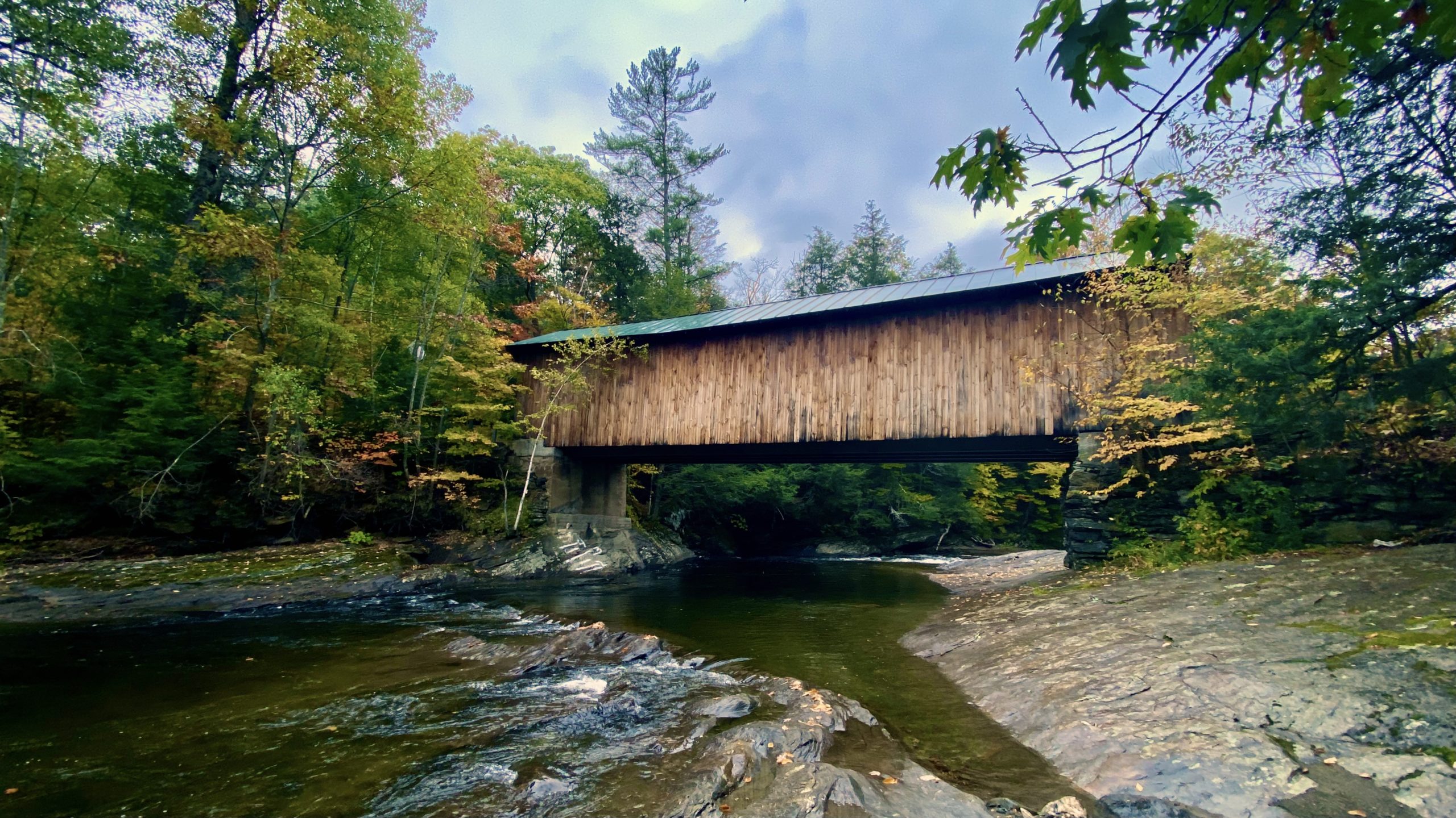
The Montgomery Covered Bridge is a great stop, with large rocks in the water that let you shoot it from plenty of angles. The town of Montgomery actually has more covered bridges than any other town in the United States, so it’s worth seeking out a few while you’re in the area.
Montgomery Covered Bridge on Google MapsVermont Photography Locations Map
Here’s a handy map of all the Vermont photography locations mentioned in this article and their coordinates.
Vermont Photography FAQ
When is peak fall foliage in Vermont?
Usually late September through mid-October. The Northeast Kingdom and higher elevations peak first, then the color moves south and into the valleys. The first two weeks of October are the safest bet for most of the state, but it shifts each year, so check a foliage map.
Can you still visit Sleepy Hollow Farm?
Only outside of peak foliage season. Pomfret closes Cloudland Road to non-residents during peak color (roughly late September to mid-October) because of overtourism, and it’s enforced by the sheriff. The rest of the year the road is open, but it’s a private home, so be respectful and photograph from the road.
What is the best place to photograph fall foliage in Vermont?
Woodstock and Stowe are the classic bases, surrounded by covered bridges, white churches, and rolling farms. For water and color, it’s hard to beat Quechee Gorge, Moss Glen Falls, and the covered bridges around Montgomery.
Do you need a car to photograph Vermont?
Pretty much. The best spots are spread across the state on back roads, so a car (and a willingness to explore off the main highways) is the way to see them.
Hopefully this list of Vermont Instagram spots helps you fill your feed full of beautiful nature.
There are also plenty of covered bridges that I didn’t include but if you’re looking to see all of them some notable ones include West Hill covered bridge, Fuller covered bridge, Brown’s River covered bridge, and Brown covered bridge.
Most importantly remember to explore off the highways. You’ll find plenty of overlooks and beautiful places to stop while driving around Vermont. I loved finding babbling brooks and fall colors all over the state.
Enjoyed this article?
Share a pin below on Pinterest