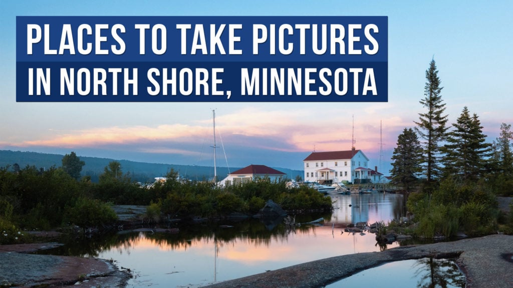
The North Shore of Minnesota is stunning part of the United States no matter the season. Sitting on Lake Superior the North Shore of Minnesota has plenty to see. Photographers will love capturing the coast, waterfalls, and unique rocky landscapes.
In this post I’ll go over some of the best places to photography in North Shore that I discovered during my one week stay in the area during a road trip.
Table of contents
Here are the best places to take pictures on the North Shore of Minnesota:
1. Gooseberry Falls State Park

Gooseberry Falls is a great stop on the North Shore full of spectacular waterfalls. I loved taking a long exposure photo of the main waterfall. As one of the larger parks in North Shore you’ll find plenty of trails to hike.
The park is great for photographers who want to explore a bit of nature. The trails go through dense forests and give you a good look at the rocky shoreline. They even get you close to some of the most beautiful waterfalls in the park. So, whether it’s the big things like waterfalls or the little details of nature, Gooseberry Falls is a beautiful stop during a visit to the North Shore.
Gooseberry Falls Concourse on Google Maps2. Split Rock Lighthouse
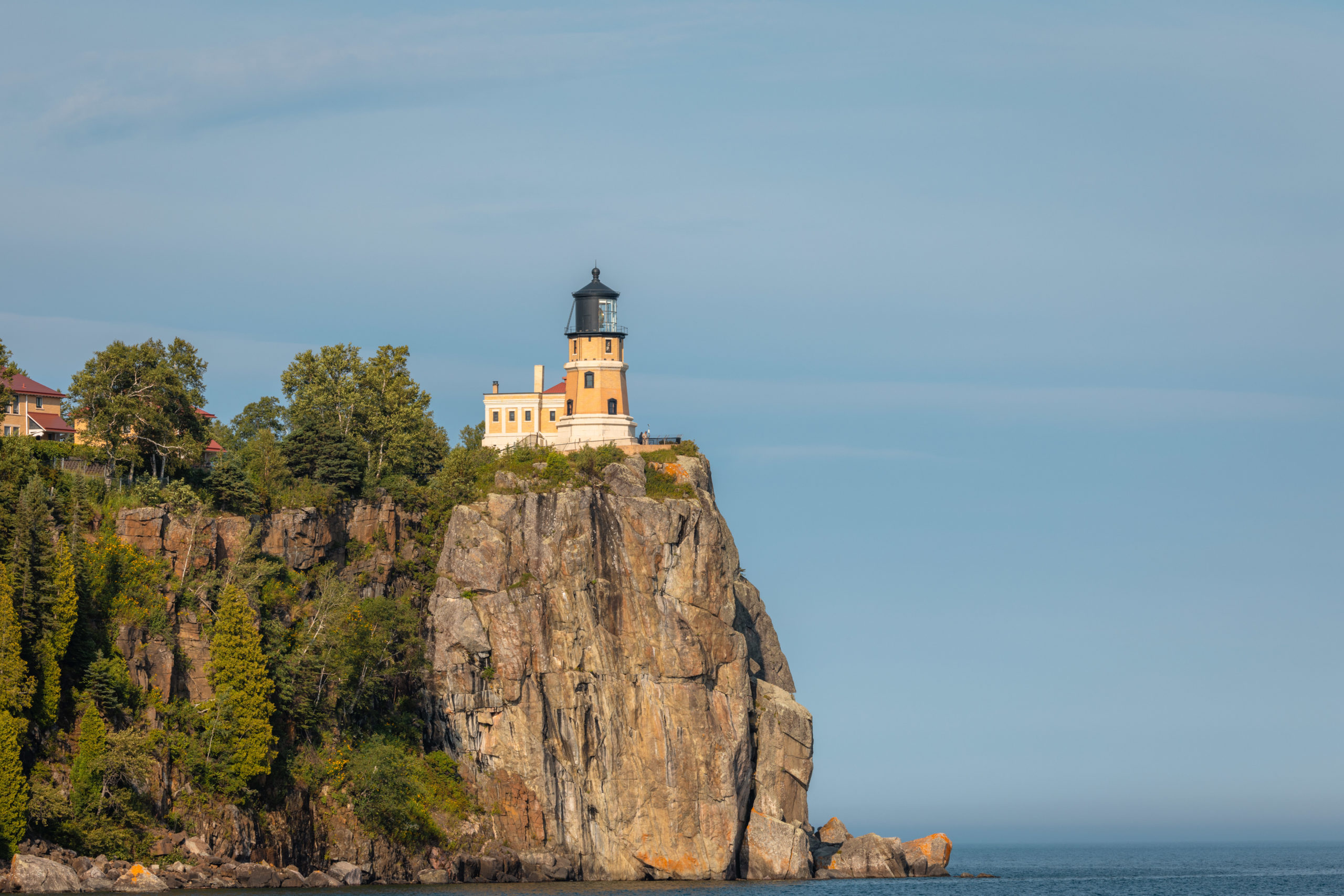
The historic Split Rock Lighthouse is well worth seeing. The lighthouse offers a visitor center, tours, and plenty of history.
If you want a better view of the lighthouse I recommend going to the state park side, which is only a short walk from a parking lot. The view is incredible as you can see the coast, huge rock formation, and the Split Rock Lighthouse on top.
Split Rock Lighthouse on Google Maps3. Black Beach Park

With great coastal views Black Beach Park is a quick stop off of MN-61. You’ll want to head to the south side of the park to see the black sand which sadly I missed on my visit. Even though I didn’t get to see the black sand the park was still beautiful with its lush rocky landscape.
Black Beach Park on Google Maps4. Palisade Head
The large cliff face Palisade Head is well worth stopping to see. Just keep in mind once you get to the parking lot there are no signs to see the view. If you head south east you should see a small stone wall that overlooks the Palisade Head.
Palisade Head on Google Maps5. Tettegouche State Park
Sadly I didn’t get a chance to visit Tettegouche State Park during my time on the North Shore. The park consists of plenty of hiking trails and waterfalls to see. Most notable of the State Park is High Falls which is the second largest waterfall in Minnesota.
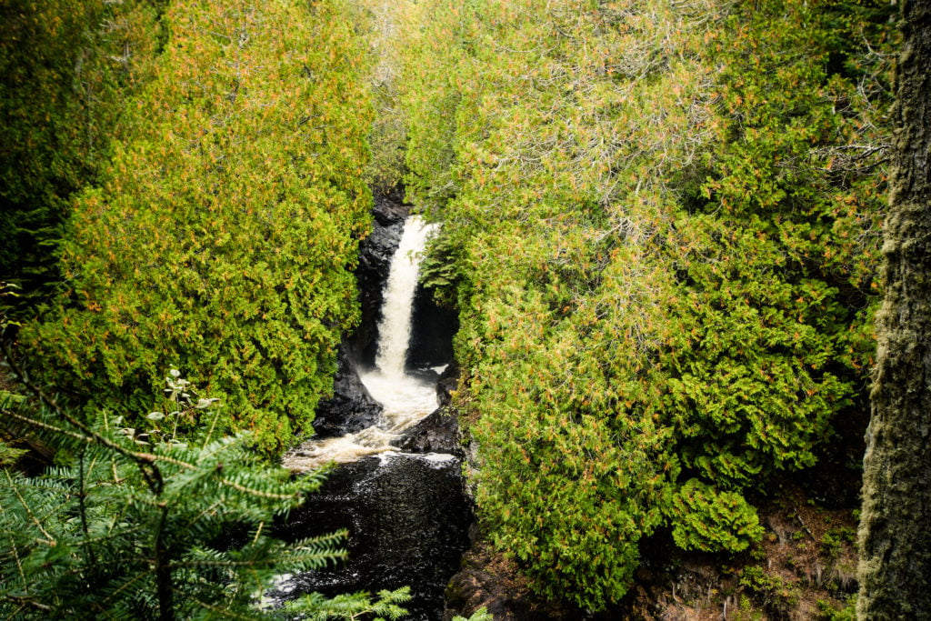
Tettegouche State Park on Google Maps6. Caribou Falls

Caribou Falls is an impressive waterfall that consists of 3 tiers. Getting to Caribou Falls is a 1.2 mile out & back hike from the wayside. I didn’t have time to complete the hike during my visit but from my drone it was incredible to see.
Caribou Falls on Google Maps7. Temperance River Falls
Located off of Voyageur Highway (Highway 61) Temperance River Falls is a quick stop with some great views.
The falls are worth the stop but I also loved seeing the cove they fed into going out into Lake Superior. There is also a small bridge that goes over the falls to photograph from multiple angles.
Temperance River Falls on Google Maps8. Oberg Mountain Trail
The Oberg Mountain loop is a 2.3 mile loop trail near Tofte, Minnesota offers plenty of North Shore views. The hike takes you around the Oberg Mountain with overlooks sprinkled along the trail. One of my favorite views was near the northern side of the hike when you get to overlook Oberg Lake.
9. Cascade Falls
You’ll find Cascade Falls near the Cascade River State Park. There is a short 10 minute hike located off of MN-61 to get to a vantage point to see the falls.
Cascade Falls on Google Maps10. Artists’ Point
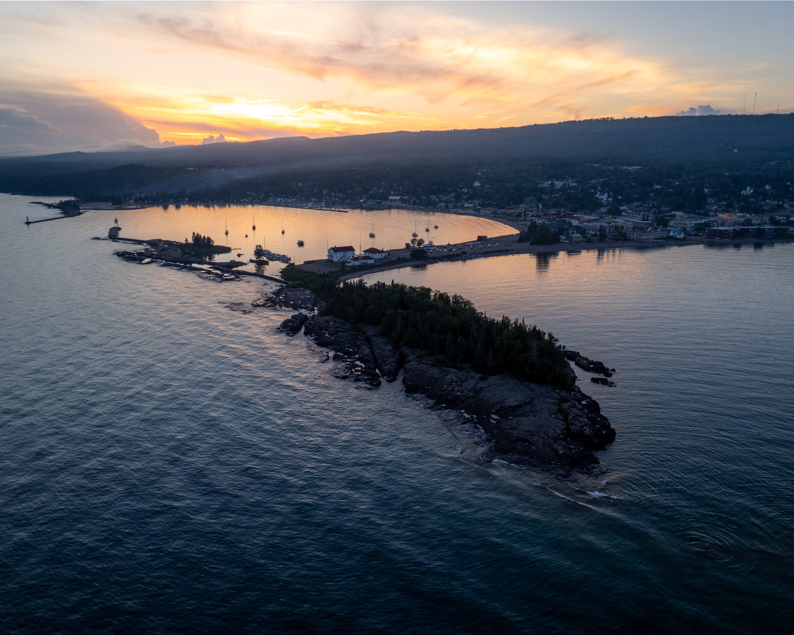
Located in Grand Marais Artists’ Point offers stunning views of the sky and Lake Superior. You’ll see the Grand Marais Lighthouse at the end of Artists’ Point and plenty of unique rock formations to photograph with water splashing on them.

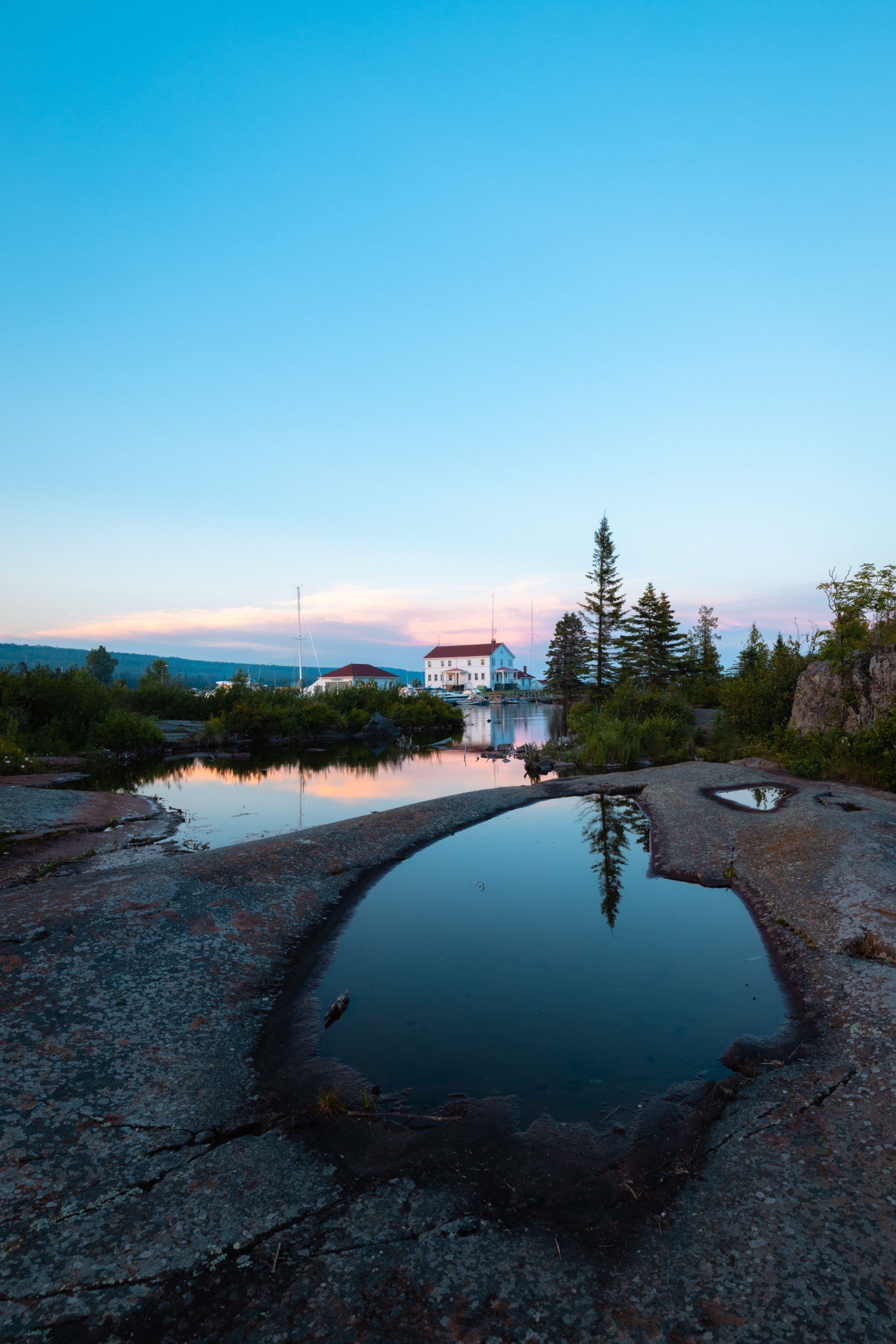
I loved seeing the sun setting in all of the puddles on Artists’ Point.
Artists’ Point on Google MapsMinnesota North Shore Point of Interest Map
Here are all of the places to photograph mentioned above in a map format. Perfect for planning your trip up and down the coast of Minnesota.
I hope you enjoyed my list of places to photography in North Shore Minnesota! I would love to come back during autumn to capture fall colors of the area or during winter. The entire area was easy to photograph since there were great lake views in almost every location I visited.
I stayed at Klarhet which offers unique bubble domes. but you could also stay in Two Harbors or Duluth as the anchor point for your visit.
North Shore, Minnesota has a lot of beautiful places that are great for taking beautiful photos. From the Split Rock Lighthouse to the calm shores of Lake Superior, this area is a photographer’s dream. So grab your camera and go see all the beautiful things North Shore has to offer. Don’t forget to show the world your amazing photos!
If there are any locations I missed just let me know in the comments below.